What information is available for M61 filter breakthrough times?
What information is available for M61 filter breakthrough times?


Counterterrorism, environmental security, aviation security, law enforcement, fraud protection, building and facilities security, border security, disaster/emergency response and recovery, and cybersecurity/information management.
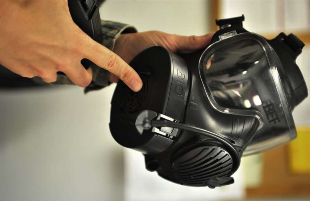
What information is available for M61 filter breakthrough times?

Where can combatant commands access established international agreements allowing/enabling science and technology collaboration (i.e., information exchange, meetings, experiments, field tests, field observations, training and exercises)?
Where can information on Raman spectroscopy (training materials, best practices, safety) be found, specifically for portable/handheld Raman spectrometers?
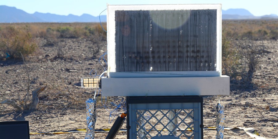
Today, 2.2 billion people in the world lack access to safe drinking water. In the United States, more than 46 million people experience water insecurity, living with either no running water or water that is…
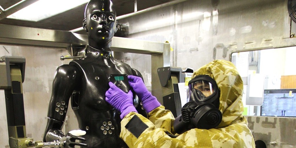
DUGWAY PROVING GROUND, Utah – The Mission and Installation Contracting Command has awarded a $1.7 million contract to develop a state-of-the-art robotic mannequin system designed to test protective gear against chemical warfare agents. The contract,…

Researchers at the National Institute of Standards and Technology (NIST) have demonstrated a new and faster method for detecting and measuring the radioactivity of minuscule amounts of radioactive material. The innovative technique, known as cryogenic…

COMING SOON – EXACT DATE AND TIME TBD. The earliest-reported foreign terrorist organization that adopted cryptocurrencies as a means of donations was the Ibn Taymiyyah Media Center (ITMC) crowdfunding campaign for Mujahideen Shura Council/Environs of…
Extreme weather trends over the past 85 years have indicated a major swing in lower lows, and longer lasting highs which is wreaking havoc on weather systems at the surface. When systems and practices were…
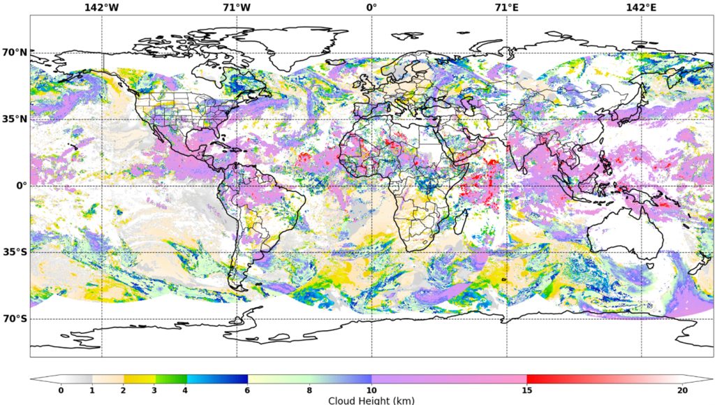
Machine learning (ML) is revolutionizing weather forecasting because it can identify complex patterns in vast amounts of weather data. It provides accurate predictions, fast updates, and the ability to capture subtle details that traditional methods…

PLEASE NOTE: THIS TRAINING IS A VIRTUAL EVENT THIS YEAR. The training will be held virtually again this year. A number of virtual breakout rooms and one “plenary” room will be created. Prior to the…

The Department of Homeland Security Science and Technology (DHS S&T) cyber community of interest (COI) and the Networking and Information Technology Research and Development (NITRD) Cyber Security and Information Assurance Interagency Working Group (CSIA IWG)…
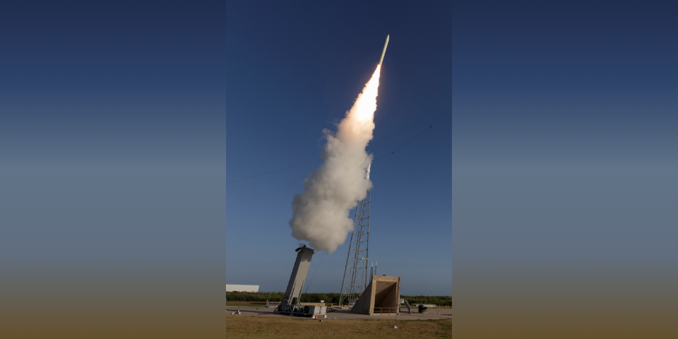
Defense Strategies Institute’s 4th Annual Hypersonic Innovation Conference will support the United States’ ability to develop and operationalize hypersonic weapons as well as defend against incoming missile threats. The 2025 Conference will highlight hypersonic technology…