Next-Gen Tactical Decision Aid: A Naval System-of-Systems Approach

Home / Articles / External Government

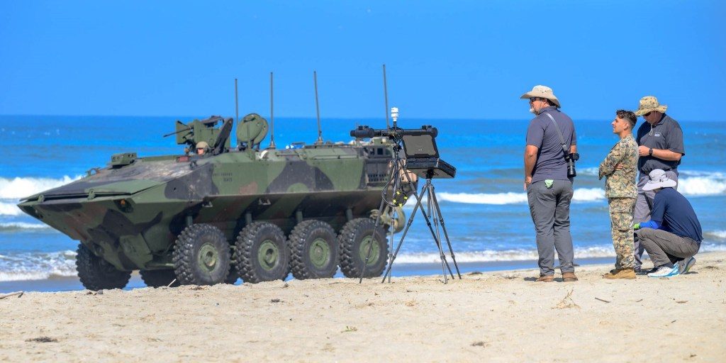
Meteorology and Oceanography Battlespace Surveillance Company 1st Intelligence Battalion Marines and NRL Ocean Science Division engineers observe surf conditions and LittoralLens system performance during amphibious combat vehicle operations. (U.S. Navy photo by Michael Walls)
Meteorology and Oceanography Battlespace Surveillance Company 1st Intelligence Battalion Marines and NRL Ocean Science Division engineers observe surf conditions and LittoralLens system performance during amphibious combat vehicle operations (U.S. Navy photo by Michael Walls).

April 8, 2025 | Originally published by U.S. Marine Corps on March 5, 2025

OCEANSIDE, Calif. – The U.S. Naval Research Laboratory (NRL) and the U.S. Army Corps of Engineers Engineering and Research Development Center (ERDC) demonstrated the Marine Corps Surf Observation (SUROB) Tool for Littoral Expeditionary Operations during the Office of Naval Research’s Technical Concept Experiment 24.2 (TCE 24.2) at Camp Pendleton in Oceanside, Calif., on August 20-23.

The SUROB Tool fuses Navy and Army operational wave and current forecast models with tactical surf zone observations to generate real-time, updated forecasts of surf zone conditions, including breaking wave heights and locations, water depths, littoral currents, surf zone width, and amphibious combat vehicle (ACV) wheel touchdown points, allowing Marines to make informed decision for littoral expeditionary access.
Want to find out more about this topic?

Request a FREE Technical Inquiry!